Blog: It's All About Mee! Hike To Mee Canyon Alcove.
I have been planning a trip to Mee Canyon, in the Black Ridge Wilderness area west of Grand Junction, for months now, ever since I stumbled on some online pics of the Mee Canyon Alcove. The alcove is probably the largest such feature in the Colorado Plateau. It's a huge cavern about 800 feet deep and 200 feet high, and amazing feature on par with some of the best sandstone icons of the Desert Southwest.
To prepare for the journey, I read a few trip reports from the few that are found on the web, including one trip made a couple years ago by Jack Brauer, a friend of mine and both the designer and host of this very website. I even watched a Youtube video of the drive to the trailhead to make sure my Subaru would make it.
The drive to the trailhead was definitely part of the adventure. It involved about 8 miles of bumpy dirt roads, the first mile of which was so bumpy I bottomed out a couple times, and it was close to the limit of what I would take my Subaru Outback on. I did not see a single other vehicle on the drive in, and I was the only car at the remote trailhead. Surprisingly, I had a couple bars of cell phone service at the start of the hike.
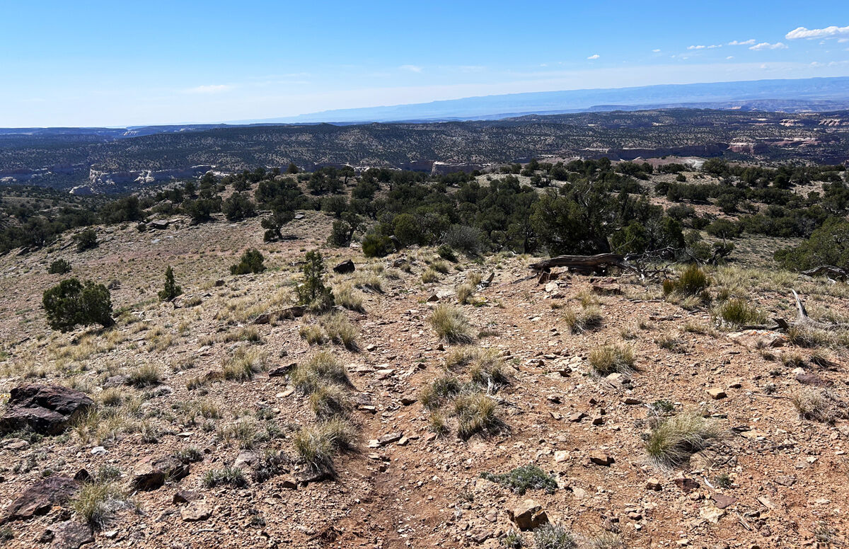
The hike itself is about 3 miles and 1400 vertical feet to the cottom of Mee Canyon. It begins on an old Jeep road that leads down the canyon from the trailhead. This portion of the trail was pretty easy and not terribly scenic.
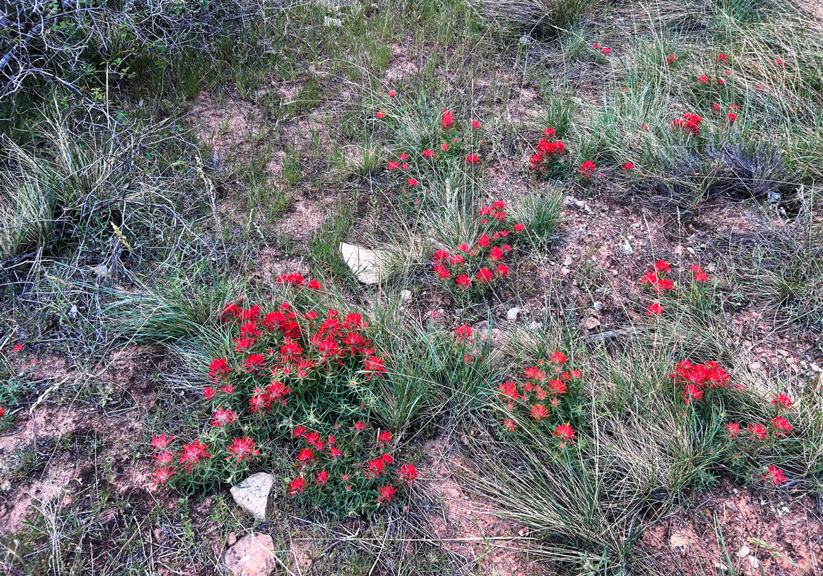
There were a few patches of wildflowers along the way which added some interest to the hike down.
After about a mile, the trail narrows and descends to the rim of a side canyon. At the 1.75 mile point, the real fun begins as the trail becomes a route marked by cairns and a steep descent to the canyon floor. I had read that there are 3 memorable obstacles that greet you as you scramble down a series of benches to reach the bottom.
But before I even reached the first of the three, I made the first of two foolish mistakes on this hike. As I reached the first down climb of the hike, I saw a tree lying against the rock face that I thought would be an easy way to step down to the next level. But I was overconfident and misjudged my foot placement on the tree, which caused me to slip off the tree, and I fell about 5 vertical feet backwards into another tree on the lower shelf. My glasses flew off my face. At the moment of impact, my first thought was "O ****! This marks the end of my hike!"
But I did a quick assessment of my condition:
Nothing broken? Check.
No extreme pain? Check.
Breathing OK? Check.
No wounds that would result in significant blood loss? Check!
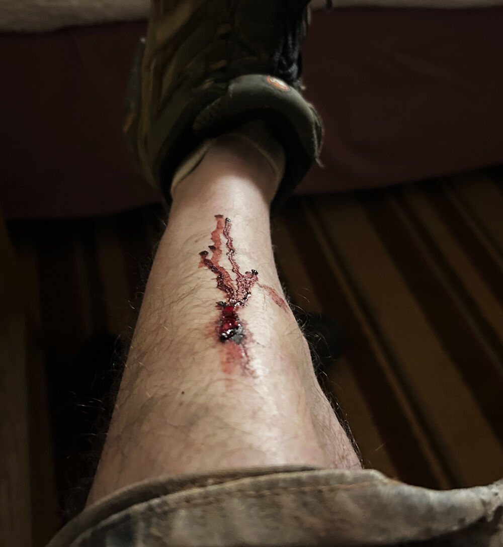
However, I did know I sprained my lower back, and along with numerous scrapes and small cuts, I had one fairly nasty gash on my shin!
I was pretty annoyed at myself. But I thought to myself "****, I have come this far, I am going to make it to my destination! So I shook off the dust and sucked it up to continue descending into the canyon.
Soon, I reached Obstacle Number One, which involves climbing through a small sandstone arch and then down a rickety wooden ladder that is affixed to the side of the canyon wall. The ladder was about 7 feet high, so I was grateful to whoever placed it there, since without it, it would have required some decent rock-climbing skills to descend. I thought for sure that I took a photo of the arch and ladder, but I can't find it amongst my photos, so either I accidentally deleted it, or in my semi-delirious state from the fall, I simply never pressed the shutter!
Obstacle 2 followed about a quarter mile later, a scramble up a steep cliff face culminating in a hole through the rocks. Apparently most hikers squeeze through the hole, but since I am tall I simply climbed up and over it, and found that a lot easier.
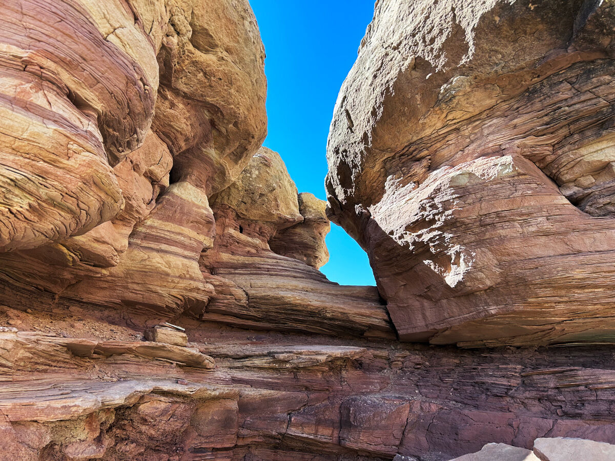
Shortly after this obstacle, I reached the dreaded Obstacle #3: The infamous Mee Canyon Ledge. A 15-20 foot walk along a narrow ledge on the canyon wall. This was the obstacle I feared most, since I have a mild fear of heights and am not fond of exposed climbing when I am hiking solo. But As I approached the ledge, I quickly saw that it was not nearly as bad as I had feared and if anything far less intimidating than the pics I had seen online seemed to indicate. It was fairly straightforward, actually, despite the 20 foot drop off and the ledge narrowing to about 8 inches wide at the far end.
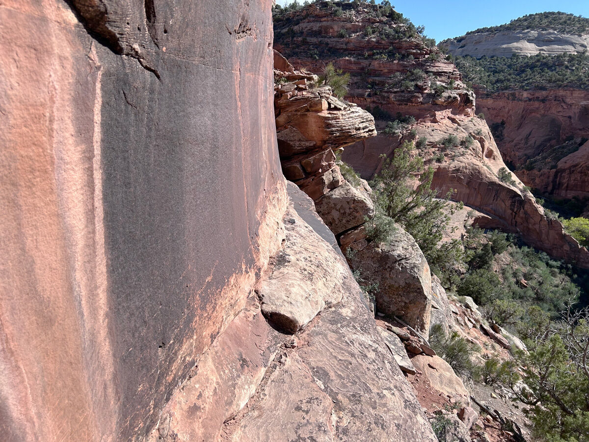
So, I found out rather quickly that it was not the three 'Obstacles' that made this a challenging hike--it was the hike itself! Numerous scrambles climbing down to the canyon floor, followed by bushwhacking through dense undergrowth blocking the path through the canyon (I got the impression only a handful of people had made the trip since this past winter) and slogging through quicksand along the way, with mud up to my shins at times. Along the way, I discovered my second foolish mistake of the hike: not bringing sufficient water. With temperatures in the 70s, and only 6 miles of hiking, I figured a liter of water would be plenty. I did not count on the brutal sun baking me on large slabs of open rock faces. I ended up having to ration my fluid intake and was pretty dehydrated by the end of the hike. You would think after decades of thousands of hikes, I would be a smart hiker by now--but Noooo, I get more stupid as I age!
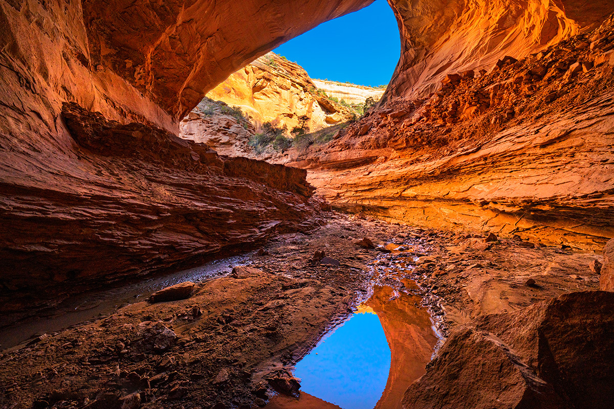
Finally, after about 2 hours of hiking (made longer by my accident) I reached the destination, the magnificent Mee Alcove. I soaked in the cool air, and walked all the way around the alcove along the creek that flows around a giant rock pile in the middle of the alcove. The reflected light from the outside canyon walls made the interior glow with orange light!
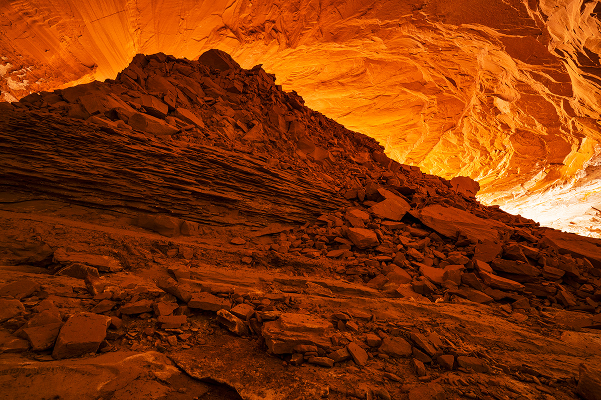
I took about a dozen photos, but my favorites were from near the entrance of the alcove, where you could see the outside canyon walls and sky. I don't normally include people in my landscape photos, but felt it was necessary to take a selfie with a timer to show the immense scale of this natural feature.
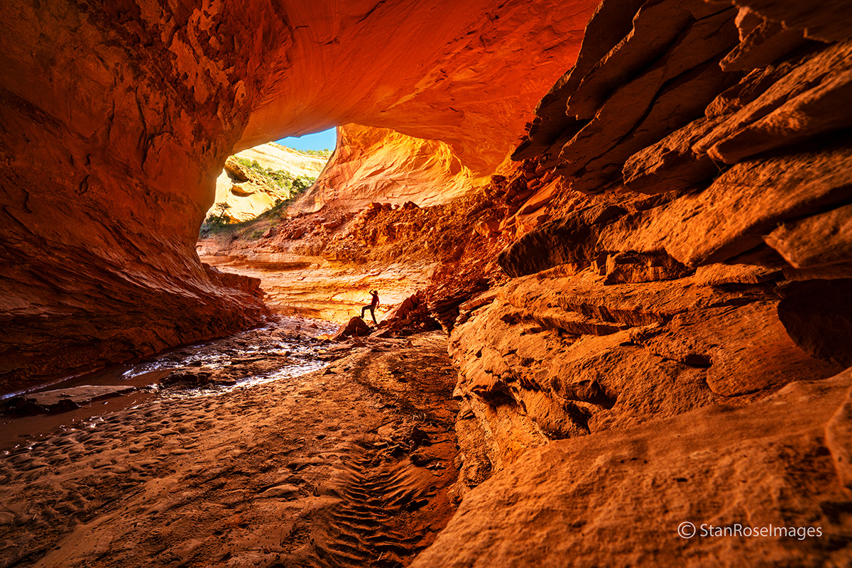
The reflections in the creek made things extra cool.
I spent about an hour exploring the interior, then headed back up the canyon by retracing my steps. I almost got off route a couple times on the ascent, and I was super glad I had an offline map that marked the route, which enabled me to make some corrections to my route using my GPS location. This was definitely a hike where route-finding and map skills were extra important. It would be very easy to get into trouble at some points up on the canyon wall.
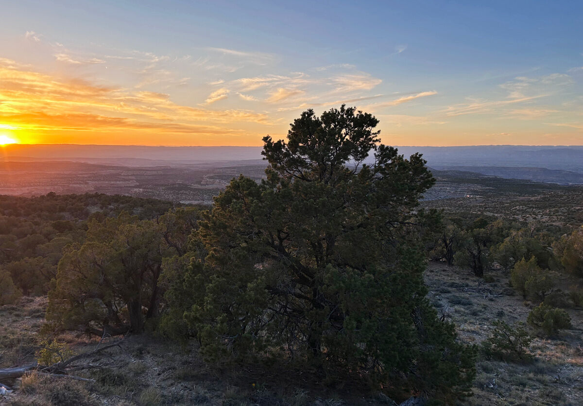
I finally made it back to my car after another couple hours of climbing and retracing my steps through the obstacles along the route. A pretty sunset lit up the surrounding canyon territory as I made it to the top. The ride out seemed even bumpier than before, probably since I was already pretty sore from the fall I took early on in the hike. One reason I wanted to get this hike in is that I figured social media would bring a crowd of people to the site and end up making it overrun and over-photographed. But I am confident after seeing not a single other person all day, that the challenges of the Mee Canyon trail will keep it pretty undisturbed, at least for now.